Vessel Information System (VIS)
"Near Real Time Ship Position Information Application works accurately with Advanced Algorithm to support ship operational needs to be more effective and efficient"
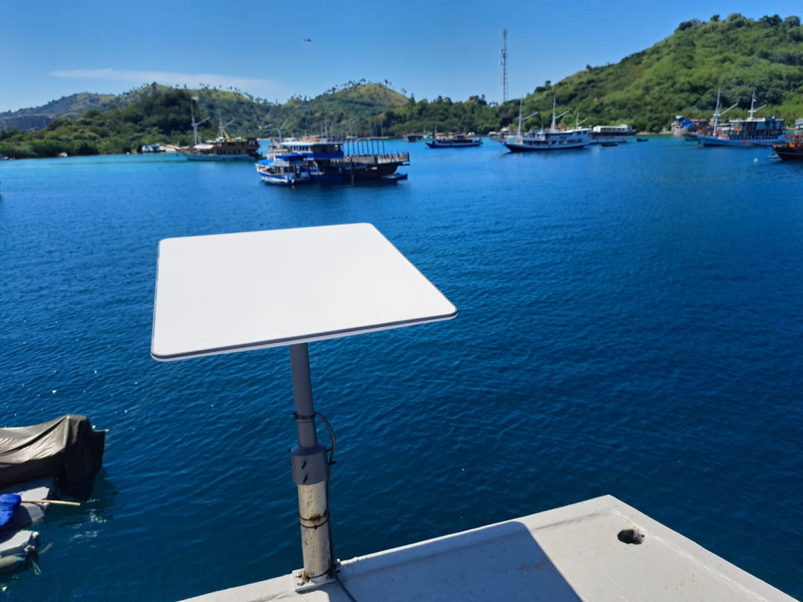
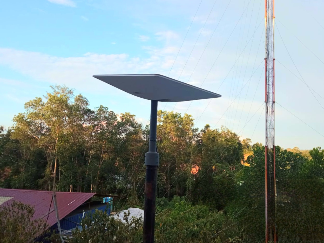
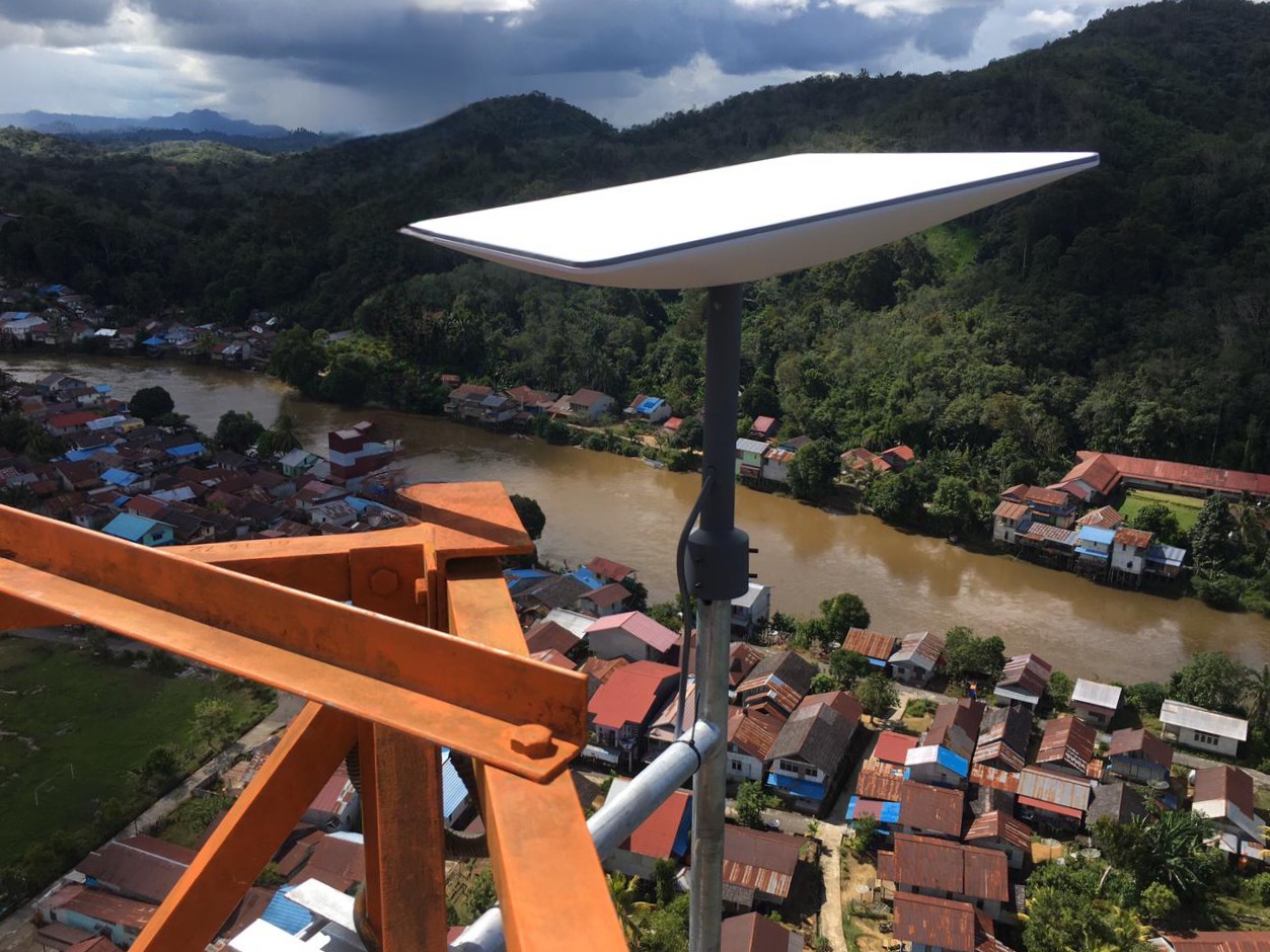
Ship position information services that are supported by satellite-based communications and other Telkomsat ship information infrastructure with Advanced Algorithm (Vessel tracking, Vessel Geofence, Near Vessel Alert, etc.). This service is the right solution to meet the needs of shipping industry, maritime industry, oil, gas and mining, military and mobile transportation industry.
Features:
- Information on the ship's position, heading and speed.
- Ship historical data information.
- Main scope of service: Indonesian waters.
- Web-based apps.
VIS Service Advantages
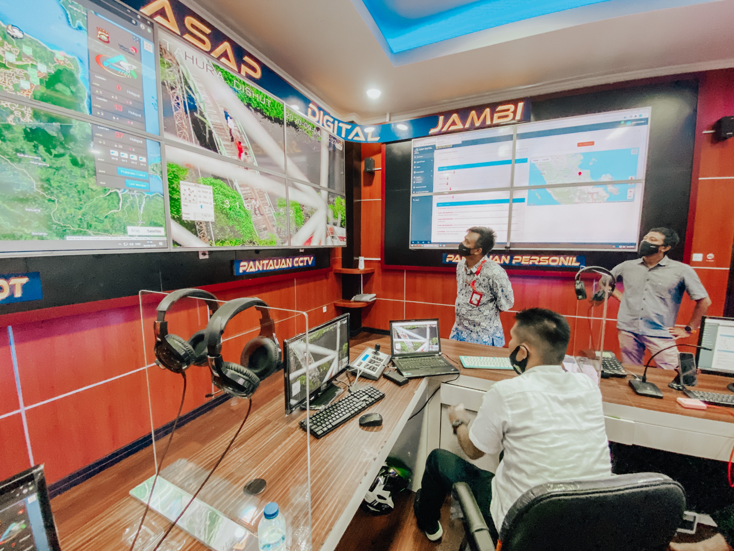
Past 3 months data information can be viewed at any time.
Ships information arround customer's ship (Vessel Geofence).
Alert information of ships approaching customer’s ships (Near Vessel Alert).
Open for collaboration projects related to VIS services, such as adding information features regarding fuel consumption sensors, engine condition, fuel tank level and so on.
Service Level Guarantee (SLG) 99%.